
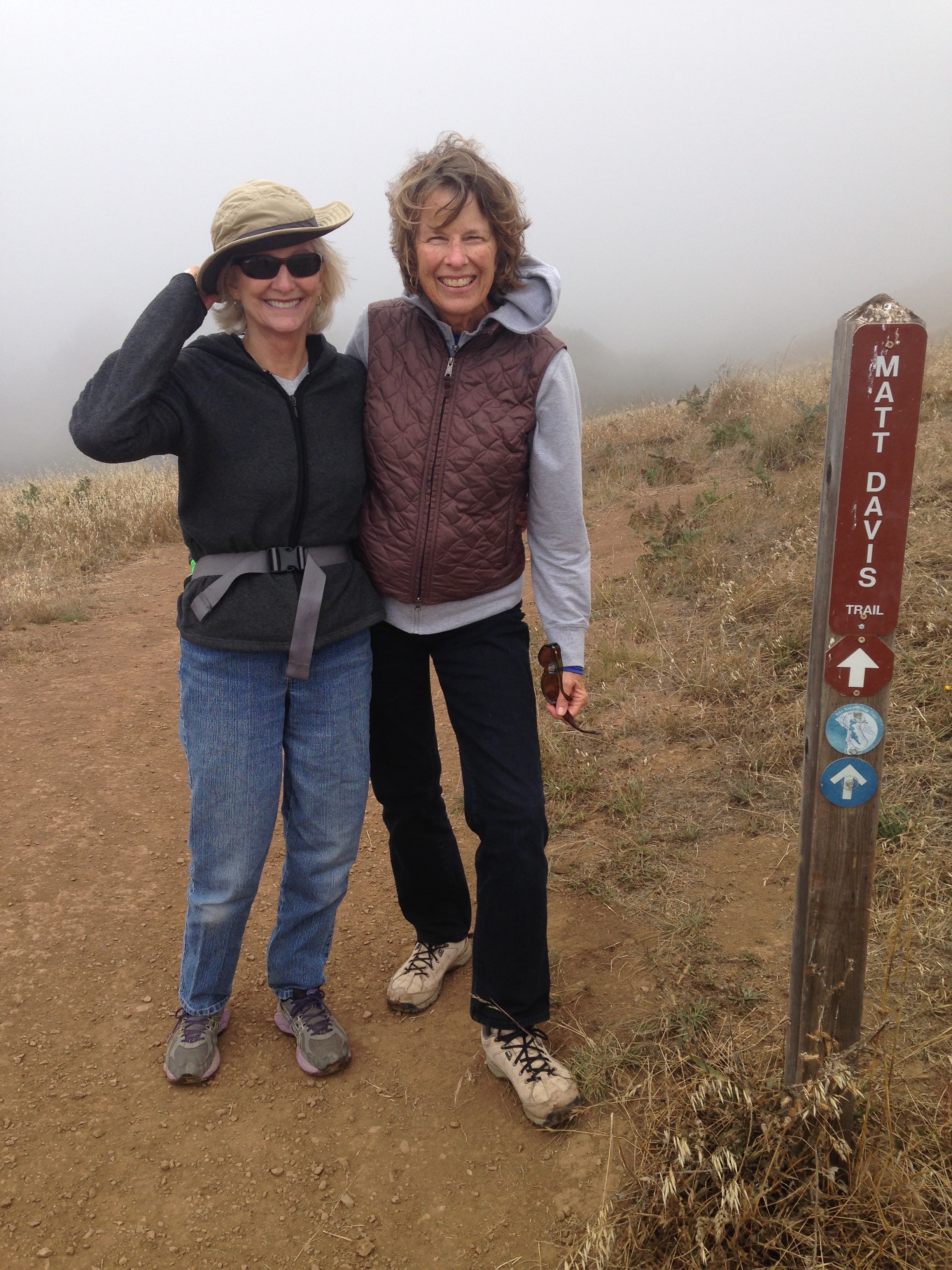
Last week, to celebrate my wife’s birthday, she, one of her best childhood friends, and I took a hike in Mount Tamalpais State Park, which is just a few miles north of the Golden Gate Bridge. Not only do I recommend the trails we took, others do too.*
Mount Tamalpais State Park, as the name suggests, is on Mount Tamalpais (summit at 2571 feet), and encompasses 6300 acres. The Park surrounds the more famous Muir Woods National Monument and its redwoods, and is bounded on the south by Golden Gate National Recreation Area (GGNRA). On the north the Park is also bounded by GGNRA as well as the Marin Municipal Water District, many more thousands of acres of open space.
We’re indeed fortunate to have world-class parks such as these so easily accessible to urbanized San Francisco!
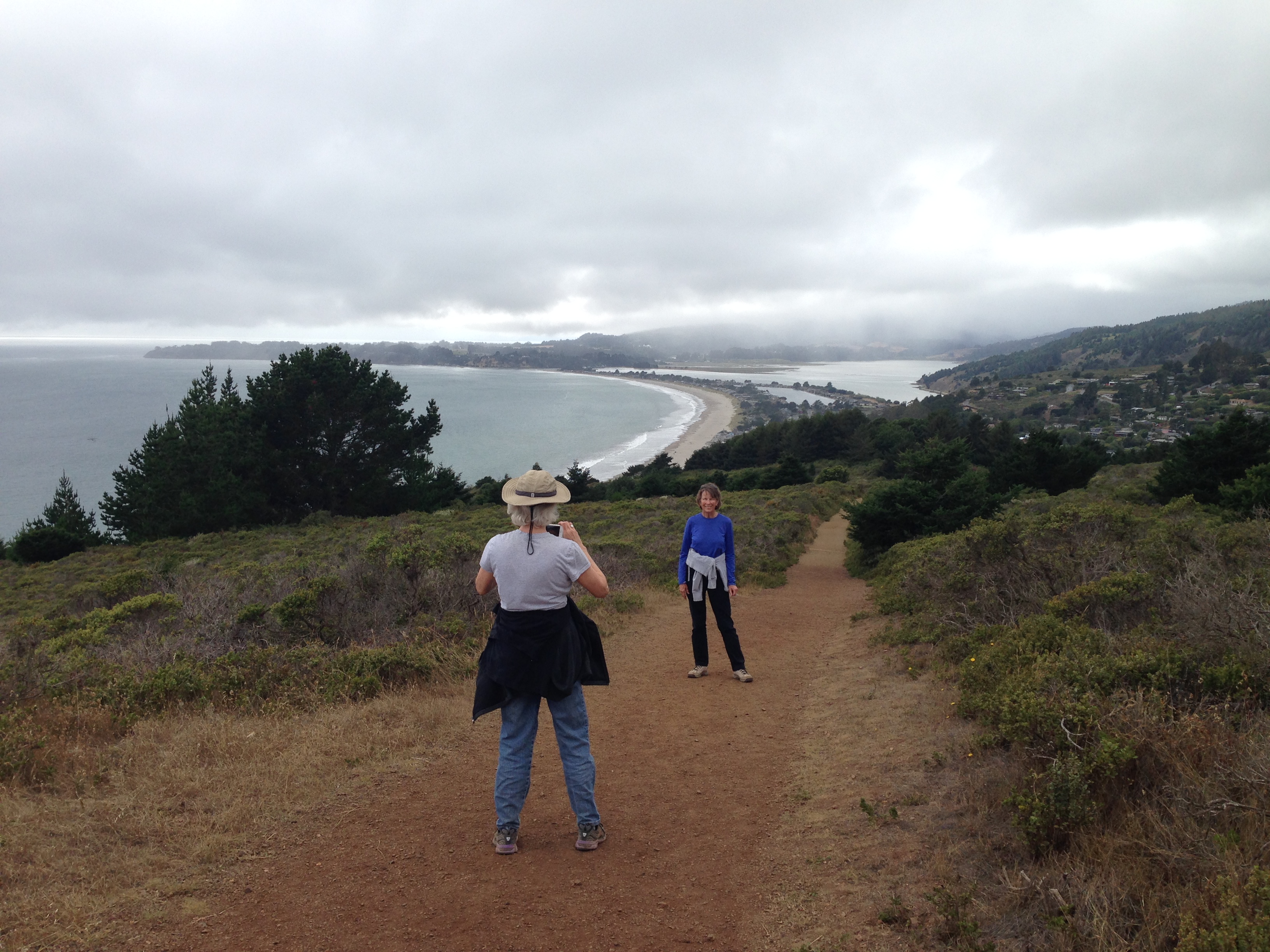
We three chose to do a loop trip from Pantoll, a crossroads of sort, which has a ranger station, campground, and parking lot. After a picnic lunch at Pantoll, our hike started nearby on the Matt Davis Trail**, which winds through wooded areas, occasionally interrupted by open fields which, on a
On the Matt Davis Trail, with the fog in background hiding the Pacific.
clear day, offer spectacular views of the Pacific Ocean and coast. However, our day was cloudy & foggy, as the nearby photo attests.
This section of the Matt Davis is flat to downhill, so we more or less coasted down the 1499’ elevation loss to the beachfront town of Stinson Beach.

Further down the Matt Davis we have an easy stroll through a scenic forest.
After refreshments at Stinson’s Sand Dollar Restaurant, we picked up the Dipsea Trail (namesake of the world famous Dipsea Race***) for a mile or so until it intersects with the spectacular Steep Ravine Trail at a bridge over Webb Creek. For Steep Ravine, stay left.
On the Dipsea Trail’s The Moors section, looking back towards Stinson Beach.
According to Dipsea historian Barry Spitz, the Dipsea Trail was first documented on a county map in 1854 and was probably in use as a native American footpath many years earlier. The trail goes from the picturesque town of Mill Valley up and over Mt. Tam’s flanks to Stinson Beach, 7 miles. From the Dipsea Race’s beginning in Mill Valley, the trail is up, down, up, and down to Steep Ravine; then it goes up 100’ or so steeply (“Insult Hill”) before its final, scenic descent through “The Moors” to Stinson Beach.
The Steep Ravine trail is all uphill but not particularly steep – the trail is just a fairly steady up through redwoods, firs, and ferns, all the while with Webb Creek a few feet away offering wonderful sights and sounds. I do believe the “steep” refers to the ravine’s sides which in many places are very steep. They’re also beautiful with the trees and foliage, all enhanced by the occasional and ever changing beams of sunlight that often come through.
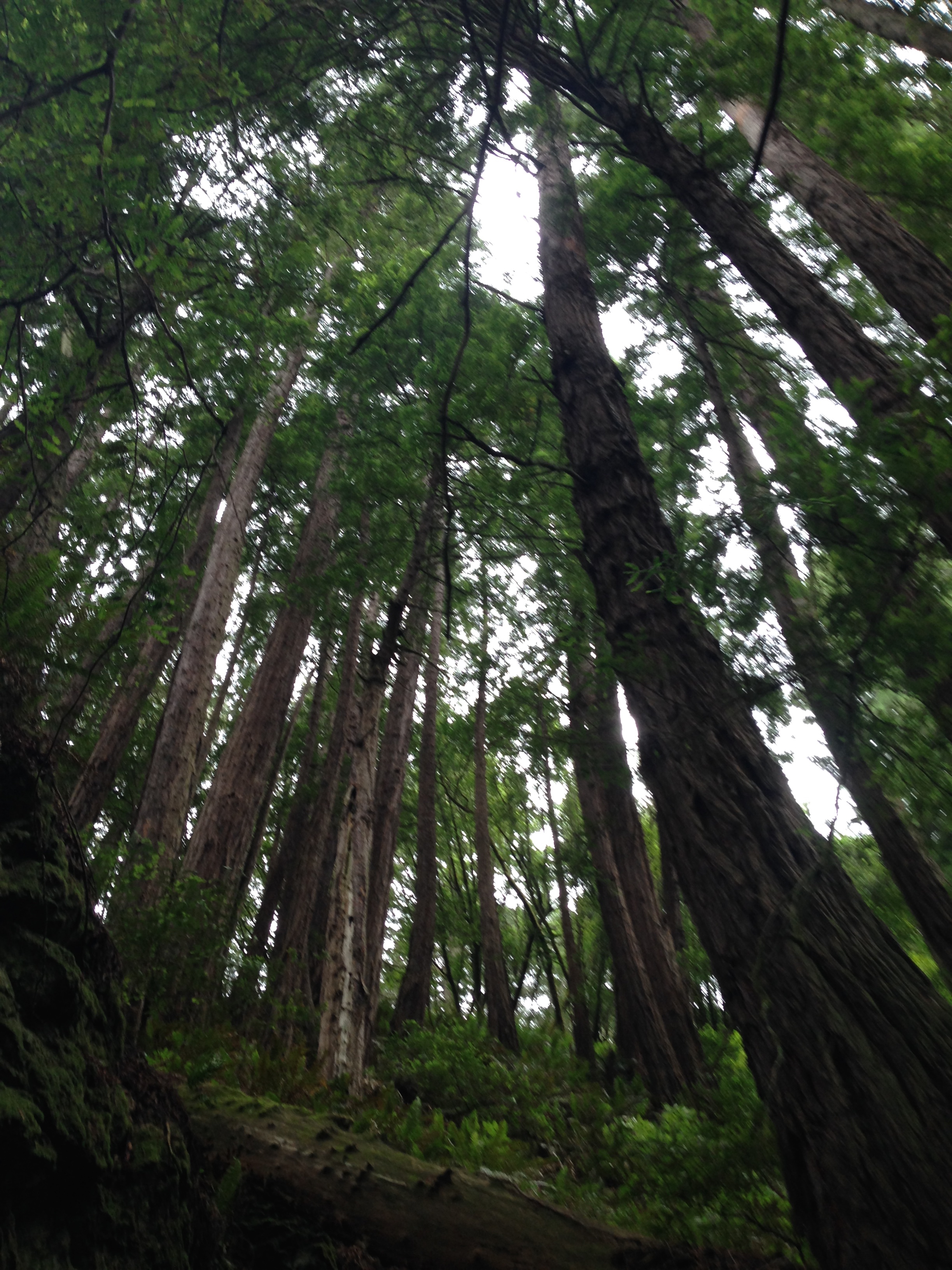
Looking up in Steep Ravine.
The round trip hike is 7.3 miles – about 2 hours down and 2 hours up, plus any time to goof off in Stinson Beach (a fine swim beach is available, however surf and/or sharks may be present).
It was an affirming, most pleasant afternoon, one we’ll all easily remember fondly.
If you’d like to learn more about Mt. Tam, nearby parks, and related natural science and culture, there’s a good listing of aligned organizations at the Tamalpais Conservation Club’s website.
*Other reputable sites which recommend this hike include:
1. http://www.bahiker.com/northbayhikes/stinson.html has an excellent description of the hike we took and others.
2. http://www.redwoodhikes.com/Home.html. 3 of 5 stars, tied with several other trails in the SF Bay Area for the highest grade given to 35 trails rated in the Bay area. “Each park and trail has been rated from one to five stars based on how enjoyable it is overall, with an emphasis on redwoods.” This site is an excellent source for hikes in old growth redwood forests.
3. http://alltrails.com/trail/us/california/dipsea-steep-ravine-matt-davis-loop, a National Geographic property, gives this hike 4.5 stars of 5 possible.
**Who was Matt Davis? Matt Davis lived in a small cabin on Mt. Tam and was paid to cut trails by the Tamalpais Conservation Club. In the 1920’s he worked on what is now named the Matt Davis Trail.
***The Dipsea Race, which covers the length of the Dipsea Trail, was founded in 1905 and is the oldest organized trail race in America. Some term it “grueling” and several sections of the race trail are named descriptively including “Suicide,” “Dynamite,” “The Rainforest,” “Cardiac Hill,” “Swoop,” and “Insult Hill.” Click here for photos.
