
On the west coast today’s tides, along with the last two days’, are popularly known as “king tides.” King tides are the highest tides of the year. Yesterday’s higher high tide in San Francisco Bay, 6.9 feet above MLLW* was just above today’s high tide of 6.8 feet above MLLW. Tomorrow’s higher high tide will be slightly lower, and the higher high tide height will continue to decrease until February 7th when it is predicted to reach 5.2 feet. Then the high tides will again increase in height, reaching 6.8 feet again on February 18th, another “king tide” day.
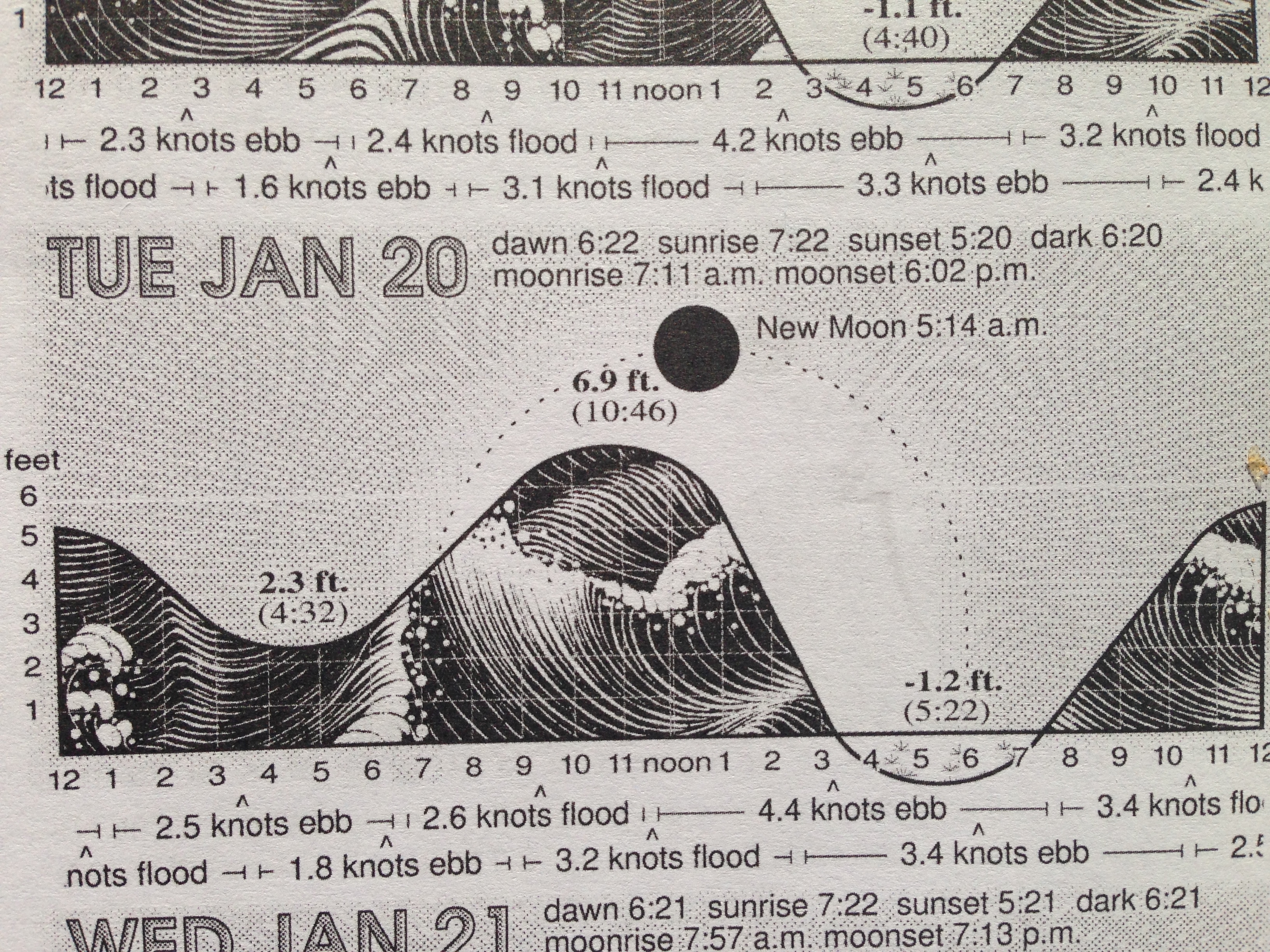
Visual of yesterday’s king tide, courtesy of the 2015 Northern California Tidelog. http://www.Tidelog.com.
Please note that after yesterday’s king tide, the next tide was a “minus” tide. That is, the low water level was below MLLW. Taking the different between the high and low tides’heights, we have 8.1 feet. That is a lot of water leaving San Francisco Bay in just a few hours! With this much water moving out, the mean maximum ebb tide at the Golden Gate can approach 5 mph and is easily observed with the naked eye from land. (Details at end of this post.)
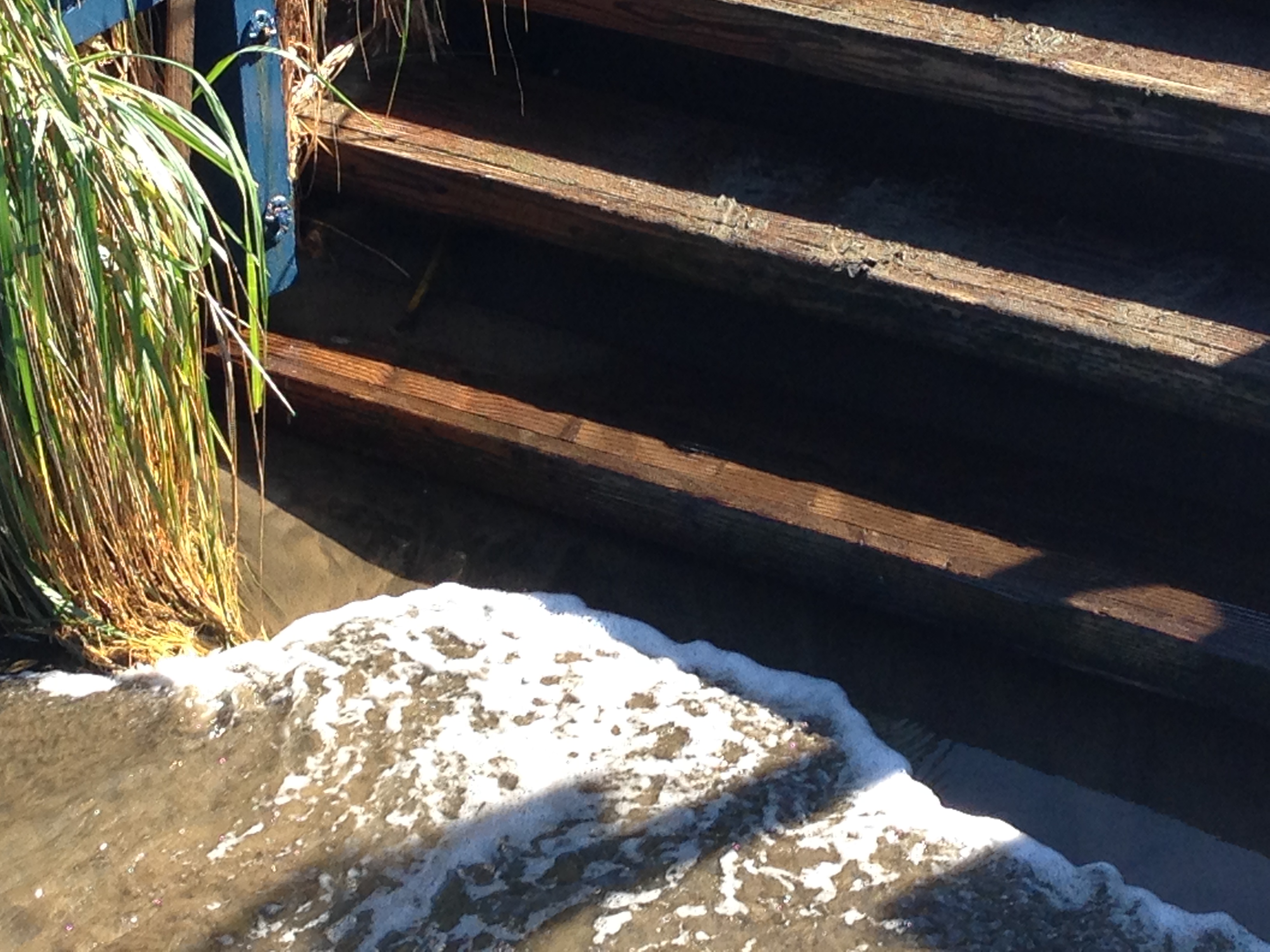
Bay water lapping at the steps down to the Dolphin Club beach.
King tides are the focus of the California King Tides Project, which is intended to help citizens visualize how a rising sea level will impact their lives.
The California King Tides Project is organized by a partnership among several state and federal agencies and non-profit organizations. This season’s organizers are:
Some readers are aware that, for the past 24 years, I’ve been swimming in San Francisco Bay regularly. I especially enjoy swimming in the winter, when temperatures at their lowest, in mid-January, are normally around 49-50 F. While this may sound like a strange recreational pursuit, I’m joined every winter at the Dolphin Club by a growing body of “Polar Bear” aspirants, which now numbers in the hundreds. (One achieves a Polar Bear by swimming 40 miles between and including December 21 and March 21 of the following year. No wetsuits, honor system. I have 23 straight PB’s, far fewer than a clubmate’s 38 in a row.)
As best I can remember, for the prior 23 winters, the low temperature in the winter has varied between 47 F and 51 F. This winter is on track to break that pattern, since the water is now 55-56 F and hasn’t been below 54 F. (These unusually high low temperatures are consistent with last summer’s temperatures, which for most of August-mid October, were in the range of 65-68 F instead of the normal 60 F or so.)
The National Oceanic and Atmospheric Administration (NOAA) has a number of stations (>2000 measuring points) along the country’s coasts that measure tide heights, water temperatures, and other variables. The station nearest to and most relevant to the Dolphin Club is Station 9414290, which is about 2 miles west of the club and just inside
the Golden Gate. For those readers interested in the subject or wanting more facts on tides, temperatures, etc., the Station’s website has it all.
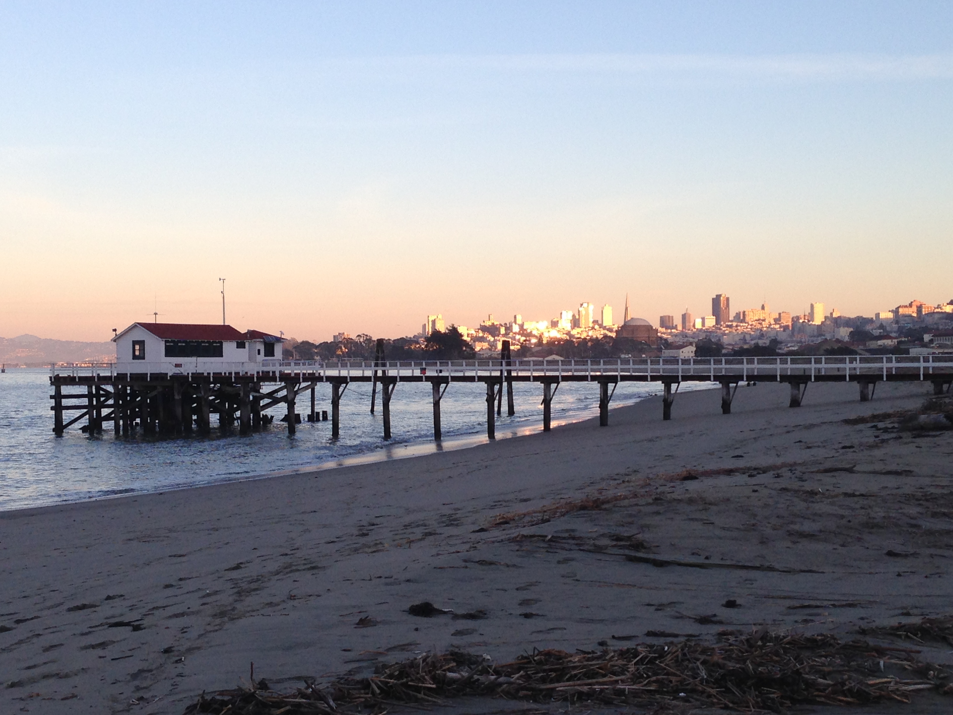
Crissy Field tidal station…NOAA Station 9414290
Most interestingly, Station 9414290, also known as the Crissy Field Station, is one of the country’s major scientific landmarks, as it is the oldest continually operating tidal gauge in the Western Hemisphere. The first bit of data was recorded on June 30, 1854, and this station has been providing data ever since. For more on the station, see http://farallones.noaa.gov/about/pier.html.
*(MLLW is Mean Lower Low Water, The average of the lower low water height of each tidal day observed over the National Tidal Datum Epoch (1983-2001).
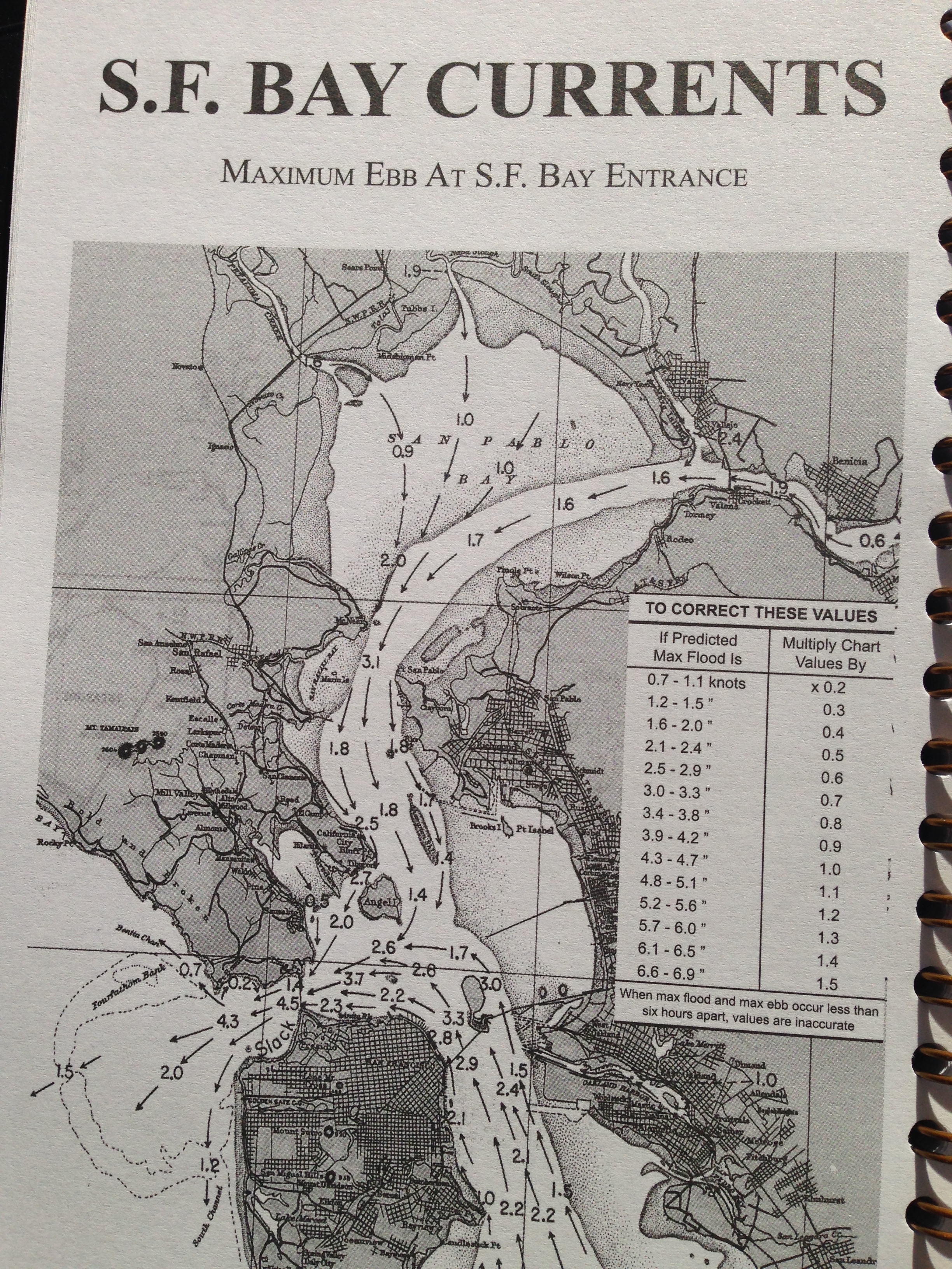
Currents in SF Bay @ Max ebb. These speeds, approach in 5 mph at the Golden Gate, are estimates but real on a day like today. Courtesy of http://www.Tidelog.com.

very interesting Mr. Polar Bear. Bill