
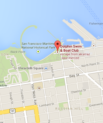
Yesterday morning, as a friend and I began a short walk from the Dolphin Club to Anderson Bakery at Fisherman’s Wharf for coffee, we were summoned by an attractive woman who, as the passenger in the front seat of a very large black SUV with darkly tinted windows (Secret Service came to mind) parked right in front of the Club, had rolled her window down. “How do we get to Route 1 heading south?” she inquired.
DC is well located.
A simple question, tourists we assumed. My friend and I were both flummoxed – it was a new, shiny, impressive vehicle, her blond hair was long and handsome, and she was courteous with what seemed to be an Australian accent. As there are many acceptable choices for driving from where we were, the northern edge of San Francisco, to Route #1, we stumbled a little. “Get on 101, take it to 280 and pick up 1 in Pacifica” was the first idea. I thought “Take Hyde (10 footsteps away) 3 blocks, turn right, keep the Bay in sight and you’ll get there.” Eventually my friend & I settled on “There’s Hyde, take it about 15 blocks to Geary, turn right and go about 5 miles to where it ends at the ocean. Then turn left.”
The blond’s friend & driver piped up “What city should we put in the GPS?” After learning they were just going for a sightseeing drive, we easily reached consensus on the town of Montara, he punched it in, they seemed satisfied, and we parted.
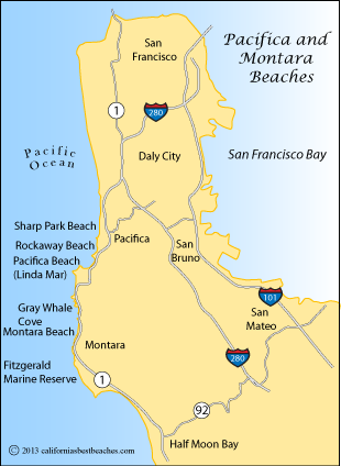
Drawing of San Francisco peninsula. (Montara is in the Southwest quadrant)
My friend & I walked on. We were both astonished the tourists chose to make themselves so dependent on a little computer/GPS screen. My friend, an editor who deals with authors and books that go on shelves, and I lamented that the world has become too dependent on gadgets – adding machines so ubiquitous they’ve neutered many people of the ability to do even the simplest arithmetic (retail staff, for example), along with all the devices accessing the Internet and simultaneously inflicting pain on incumbent newspaper and book publishers, among others. And now GPS, having become available almost anywhere in just a few years, must be, I thought, making life very difficult for the old, honorable profession of map making (“cartography”) and publishers.
Well, I happen to like paper maps and can’t imagine traveling without them. Maps enable one to “see” where one is in relation to the geography. Good maps offer a learning experience, by providing curated details of interest to their target audience, not a known function in Google Maps, at least not yet.
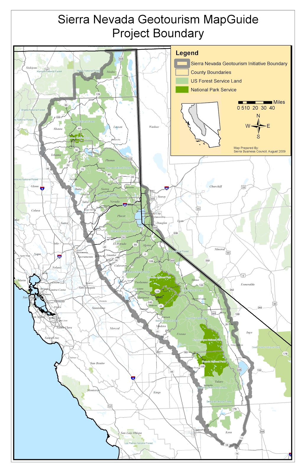
The Sierra Nevada is a mountain range in the western United States just to the east of the Central Valley of California. The vast majority of the range lies in the state of California.
What a treat it is to just be sitting at home in the winter with an unfolded map of the Sierra Nevada plotting a future backpack. (Try doing that on a screen!) Putting their obvious utility aside, how can one not get pleasure from daydreaming with an open paper map of their next vacation (or day hike) destination?
The morning interchange and discussion piqued my curiosity about the map “industry,” so I decided to take a look at the publishers represented in my easily accessible map inventory. My goal was to understand the map-making industry at least a bit and, possibly, discover good publishers as yet unknown to me and maps I need.
Results should be Coming Soon! In the meantime, enjoy the irony of my using this publishing platform as well as this colorful & expressive map:

Maps can convey a lot at once and be fun at the same time!
